Our Services
Precision aerial and digital solutions tailored for smarter project decisions.
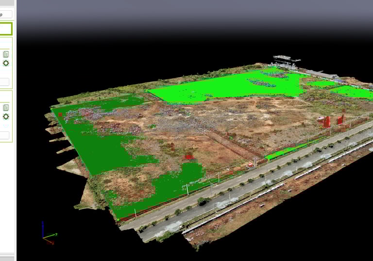
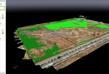
Aerial Mapping
High-resolution site visualization for planning and analysis.


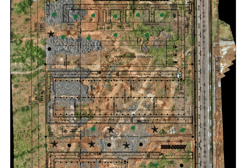
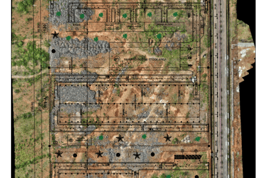
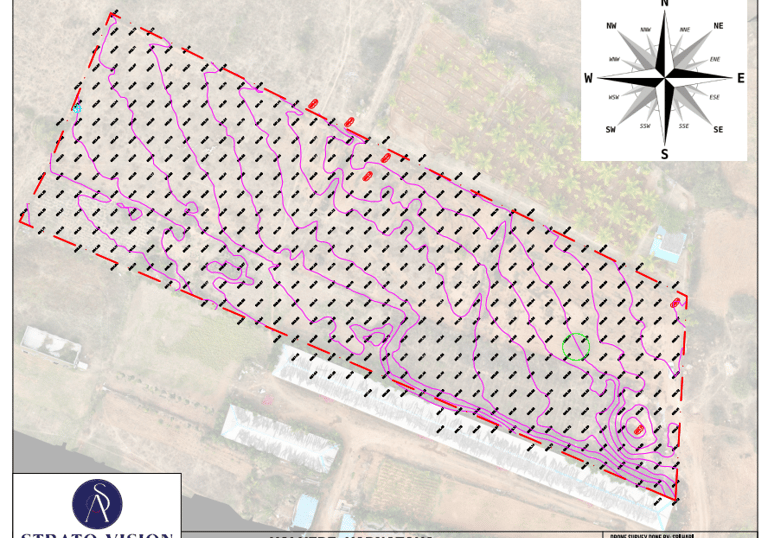
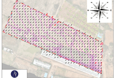
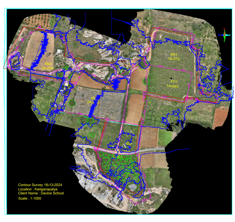
Topographic & Contour Surveys
Accurate terrain data to support design and development.
Precise volume calculations for efficient earthwork planning.
Cut & Fill Analysis


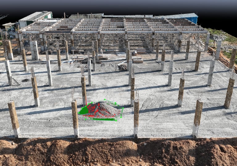
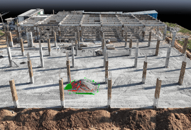
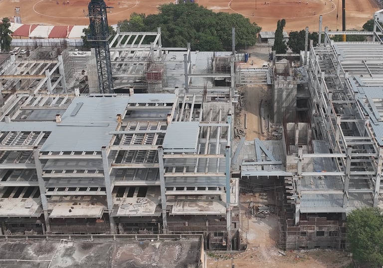
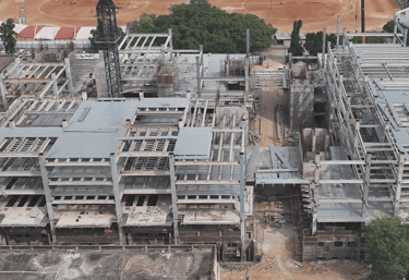
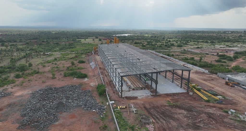
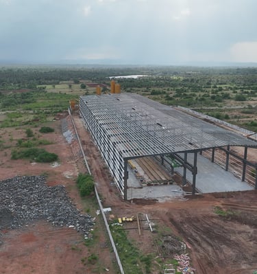
Construction Progress Monitoring
Regular aerial updates to track progress and timelines.
3D Mapping & Models
Digital & GIS Solutions
Clear spatial models for better visualization and decisions.
Structured data, drawings, and insights for project clarity.
Our Gallery
Aerial views capturing precision and project progress.


Strato Vision’s aerial surveys gave us precise data that kept our project on schedule and under budget.
Ravi K.

★★★★★